Get Outside and Start Exploring with Urban Hiking (published on FOAM.com)
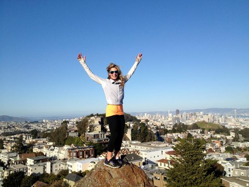
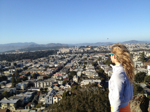
With the days getting longer and temperatures on the rise, getting out of the office or the house and on the road is always on everyone’s mind. But you don’t have to hop a train, plane or automobile to go on an adventure—you can take one right in your very own backyard, and that is where urban hiking comes in. Urban hiking is not only a great way to discover your city’s best-kept secrets, but also a great opportunity to rack up some miles and get in some serious exercise. Every city in the world has a multitude of special places to discover, be it hidden staircases, parks, or hiking trails. I recently took an urban hiking tour with Urban Hiker SF owner and hiking extraordinaire, Alexandra Kenin, who was happy to give me some tips on how to create your very own adventure wherever you call home.
Get familiar with Google Maps.
Every single urban hike should start with a look at Google Maps. Be on the lookout for parks, hiking trails, and stairways, and make sure you’re able to identify these features on the map. Large green spaces are parks and the dotted lines are hiking trails through the park. Once you can identify these elements, you can decide which ones you want to include on your hike.
Choose a large number of sights to see at a time.
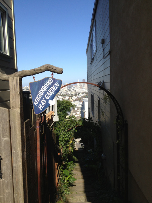
For Alexandra, “an urban hike is different than a city walk because it incorporates parks, hiking trails, and stairways, or other off-the-beaten-path sights”. For that reason, she tries to incorporate as many of these spots as possible into a single hike. By bunching together multiple parks and stairways that are near one another, you’ll spend much more time exploring them and not just walking on city streets. In addition to parks, look for large-scale outdoor artwork sites, swings and slides, and interesting architecture.
Create a custom Google “My Map” to plan out your route.
After you figure out the general neighborhood you want to explore, create a Google My Map to plan out your intended route. Put place markers on the main sights you want to see, and then draw lines between points of interest. Alexandra always tries to find the most interesting way to get from point A to point B to point C. And in San Francisco, where she’s based, there’s usually a stairway involved!
Be adaptable and open to changing course.
Even if you plan out a My Map, sometimes serendipity happens. You may come across a hiking trail or a stairway that you didn’t see on the map. This is a great thing about urban hiking—it’s OK to get lost most of the time! When Alexandra initially plans out her routes for Urban Hiker SF, she finds new and interesting sights that weren’t on her initial route nice times out of 10. So go out there and explore!
Download a pedometer app for your phone.
A pedometer is a great tool for your Urban Hike so that you can keep track of how many steps you took, how many miles you covered, and how many calories you burned. Plus, at the end of the day, you can look back and reminisce about all the amazing places you saw. Two iPhone apps I use on a regular basis are Moves and MapMyRun.
Take urban hiking on the road.
Urban hiking might be the best way to explore a city, so take your new planning skills on the road. You can use the same planning routine that you used to plan a hike in your city to explore a new one.